Modern farming faces ongoing challenges to boost yields, conserve resources, and meet sustainability goals. Precision agriculture, powered by drone technology, offers an efficient, data-driven solution to help farmers make smarter decisions in crop management. Sonoran Desert Institute reviews how aerial drone operations and data collection play an important role in advancing agricultural monitoring and field analysis. As an institution accredited by the Distance Education Accrediting Commission (DEAC), SDI provides foundational drone training that supports emerging applications across diverse industries, including agriculture.
Traditional farming practices often rely on general observations and routine schedules to guide planting, irrigation and harvesting. While effective for many years, these methods can result in uneven resource use, delayed problem detection and higher operational costs. Precision agriculture aims to address these issues by delivering site-specific data that allows farmers to manage each field with greater precision.
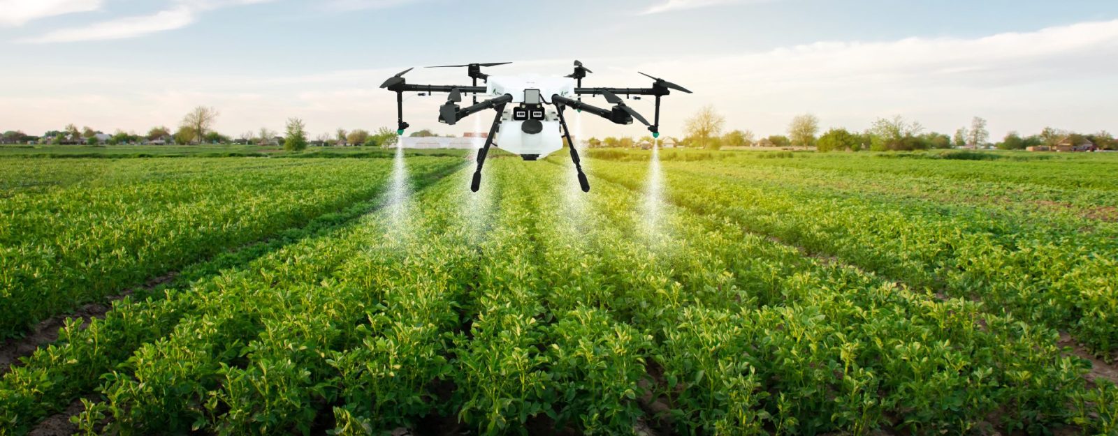
Capturing Aerial Crop Data
Drones serve as valuable tools for collecting timely, high-resolution images of farmland. Equipped with multispectral, thermal and visual cameras, drones capture detailed information about crop health, soil conditions and moisture levels.
By flying over fields on a scheduled basis, drones create consistent records that track changes in crop growth over time. These images allow farmers to identify areas of stress, detect disease outbreaks, or spot pest infestations earlier than would be possible through ground inspections, alone.
Creating Detailed Field Maps
The data gathered by drones is processed into detailed maps that reveal variations within fields. These maps highlight areas where crops are thriving and pinpoint sections that need attention.
Multispectral imaging detects differences in plant chlorophyll levels, indicating nutrient deficiencies or water stress. Thermal imaging reveals temperature variations that may signal irrigation issues or disease presence. These insights allow farmers to respond quickly, and target treatments only where needed, reducing unnecessary chemical use and conserving water.
Supporting Variable Rate Applications
With accurate field maps in hand, farmers can implement variable rate applications of fertilizers, pesticides and irrigation. Rather than applying treatments uniformly across entire fields, farmers adjust application rates based on actual crop needs.
This targeted approach improves resource efficiency, lowers input costs and minimizes environmental impact. By avoiding over-application, farmers preserve soil health, protect nearby water sources and reduce chemical runoff, supporting long-term sustainability.
Monitoring Crop Growth and Yield Forecasting
Drones also assist with monitoring crop growth throughout the growing season. By comparing current imagery with historical data, farmers track the progress of plant development and assess whether growth is on schedule.
These comparisons support more accurate yield forecasting, allowing producers to plan harvesting operations, manage labor needs and coordinate with distributors. Early yield predictions also help farmers secure better market positions and negotiate contracts based on projected output.
Identifying Pest and Disease Outbreaks
Timely detection of pest infestations or crop diseases is critical to preventing widespread damage. Drones equipped with high-resolution and multispectral cameras identify subtle signs of stress that may signal the early stages of an outbreak.
Spotting issues early allows for rapid intervention, often limiting the spread of pests or diseases before they cause significant losses. Targeted treatments applied to affected areas preserve healthy crops while minimizing chemical exposure to unaffected sections.
Optimizing Irrigation Practices
Water management is a constant concern in agriculture, particularly in regions facing drought or limited water supplies. Drones contribute to more efficient irrigation by identifying areas with moisture stress or uneven water distribution.
Thermal imaging detects temperature variations caused by insufficient moisture, allowing farmers to adjust irrigation schedules or repair malfunctioning equipment. By applying water where it’s most needed, farmers reduce waste and support healthy plant growth.
Assessing Soil Conditions and Erosion Risks
Beyond monitoring crops, drones evaluate soil conditions that influence plant health. Erosion, compaction and nutrient deficiencies often present visual patterns that are visible from above but difficult to assess at ground level.
Field maps created from drone data guide soil management decisions, such as where to apply organic matter, adjust tillage practices or implement erosion control measures. By maintaining healthy soil, farmers protect long-term productivity and preserve valuable farmland.
Documenting Compliance and Certifications
Many agricultural producers participate in sustainability programs or certification processes that require documentation of responsible farming practices. Drone-generated data serves as verifiable records that demonstrate compliance with program standards.
Time-stamped imagery, field maps and treatment records support audits and reporting requirements, giving producers confidence during certification reviews. Accurate documentation also assists in securing financial incentives, grants or insurance coverage tied to sustainable farming initiatives.
Improving Harvest Planning and Logistics
As harvest approaches, drone imagery helps farmers evaluate crop maturity and identify optimal harvesting windows. By monitoring ripening patterns across fields, producers plan harvest schedules that maximize yield quality and minimize losses from over- or under-ripened crops.
This information supports better coordination of equipment, labor and transportation resources, reducing downtime, and streamlining harvest operations. Efficient harvest logistics protect crop quality and support profitability.
Training Professionals in Drone Operations for Agriculture
As drone technology becomes increasingly valuable in precision agriculture, skilled professionals are essential for successful implementation. Effective use of drones requires expertise in flight planning, equipment handling, regulatory compliance, data collection and agricultural analysis.
Professionals in this field must be capable of assessing field conditions, interpreting aerial imagery and translating raw data into actionable insights for farm management. With these skills, drone operators play a key role in helping agricultural producers improve crop performance, optimize resource use, and adopt data-driven decision-making strategies that support long-term sustainability.
Expanding Career Opportunities in Precision Agriculture
The adoption of drones in agriculture creates new career opportunities for individuals with expertise in drone operations, data analysis and agricultural consulting. Professionals trained in precision agriculture technologies play a critical role in helping farmers optimize yields, conserve resources and meet sustainability goals.
Careers in this field may include roles with farm management companies, agricultural cooperatives, equipment manufacturers and research organizations. By mastering drone technology, professionals support advancements that strengthen the future of food production.
Precision agriculture supported by drone technology is reshaping modern farming practices. By delivering detailed, timely information, drones help farmers make better decisions, reduce waste and improve productivity, while protecting natural resources.
Through technical training in drone operations, institutions like Sonoran Desert Institute equip students with foundational skills that may be applicable to crop monitoring and data collection in agricultural settings. While not focused specifically on precision agriculture, this training supports broader opportunities in drone-assisted fieldwork. As agriculture continues to adopt advanced monitoring technologies, professionals trained in drone flight and data interpretation play a vital role in supporting efficient, data-driven farm management.